Sidebar
×
Main Menu
HOME
OVERVIEW
CATALOGUE
RESEARCH
GALLERY
CAREER
CONTACT
PORTAL
INTRANET
STAFF
ORMT
CRISP Web GIS
Suomi-NPP Satellite Images
Special Coverage
CRISP Workshops
CRISP Conferences
PORTAL
INTRANET
STAFF
HOME
OVERVIEW
CATALOGUE
RESEARCH
GALLERY
CAREER
CONTACT
CRISP Calendar 2007
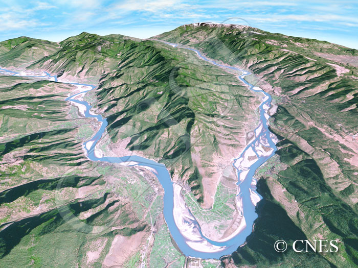
Bend Of The Yangtze At Shigu, Southwestern China
6 January 2004
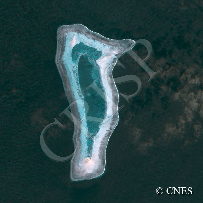
Tubbataha Reef, Sulu Sea, Philippines
2 February 2006
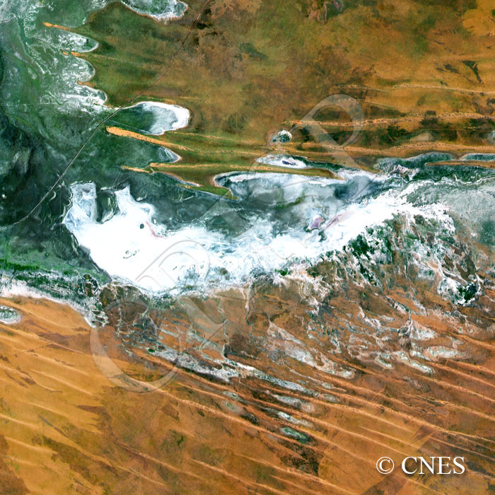
Arid Plains, Western Australia
20 April 2006
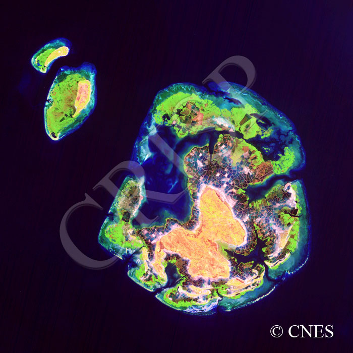
Tanakeke Island, South Sulawesi, Indonesia
11 September 2005
Land Use, Tha Rua, North Of Bangkok, Thailand
12 June 2006
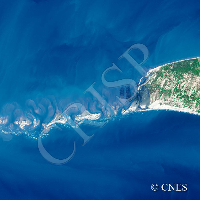
Adam’s Bridge Between Sri Lanka And India
7 August 2005
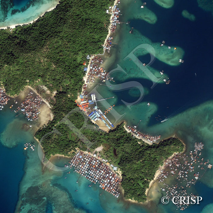
Pulau Gaya, Tunku Abdul Rahman Marine Park, Sabah, East Malaysia
21 January 2006
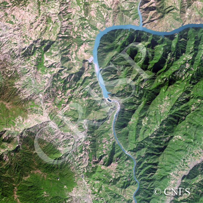
Dam On The Mekong/Lancang River, Yunnan, China
23 January 2006
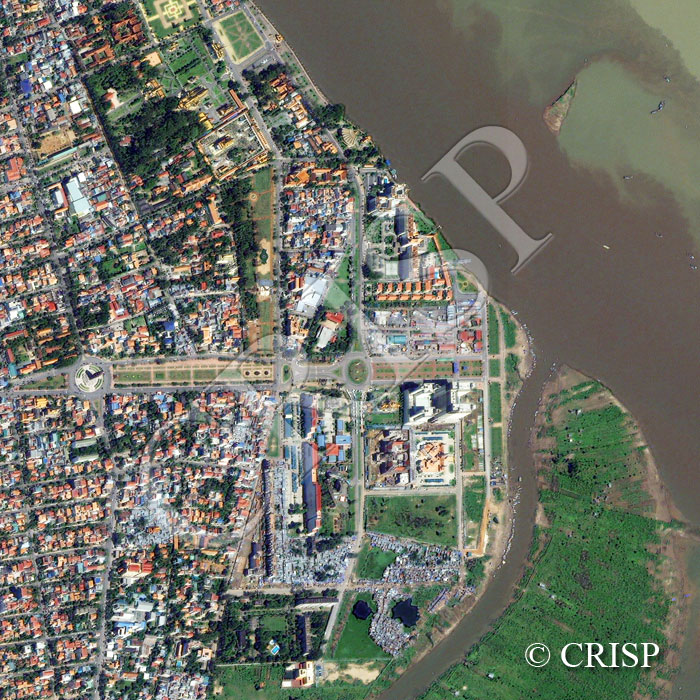
Central Phnom Penh, Cambodia
2 December 2005
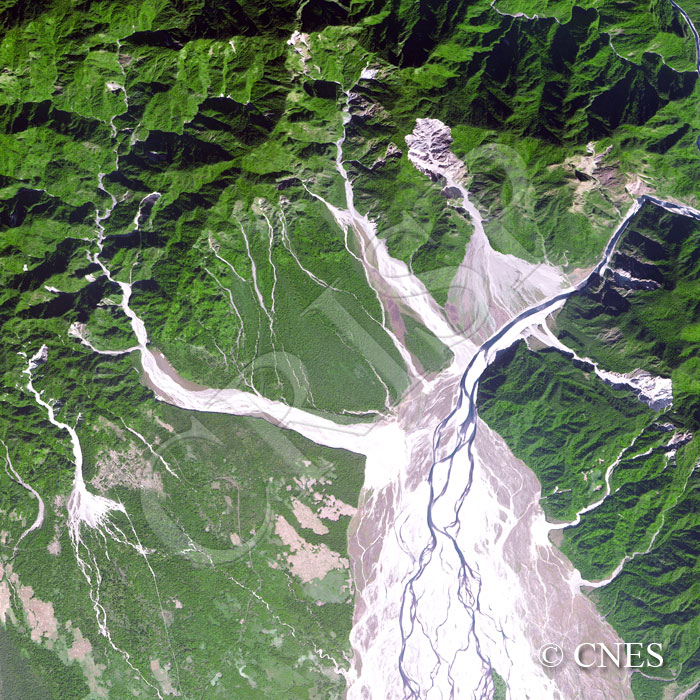
Himalayan Foothills, Arunachal Pradesh, India
21 December 2005
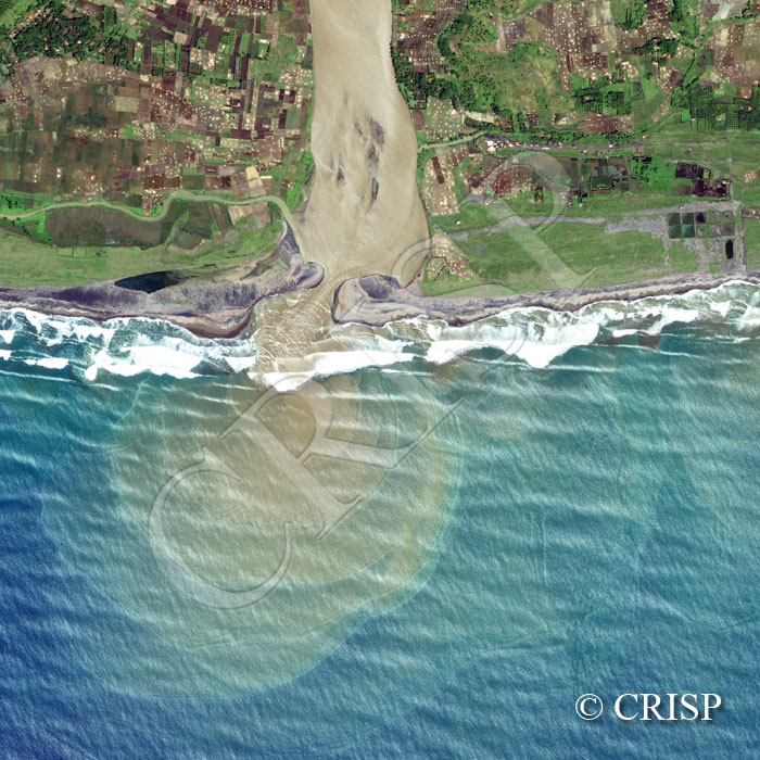
Cibuni River, Southwest Java, Indonesia
13 February 2006
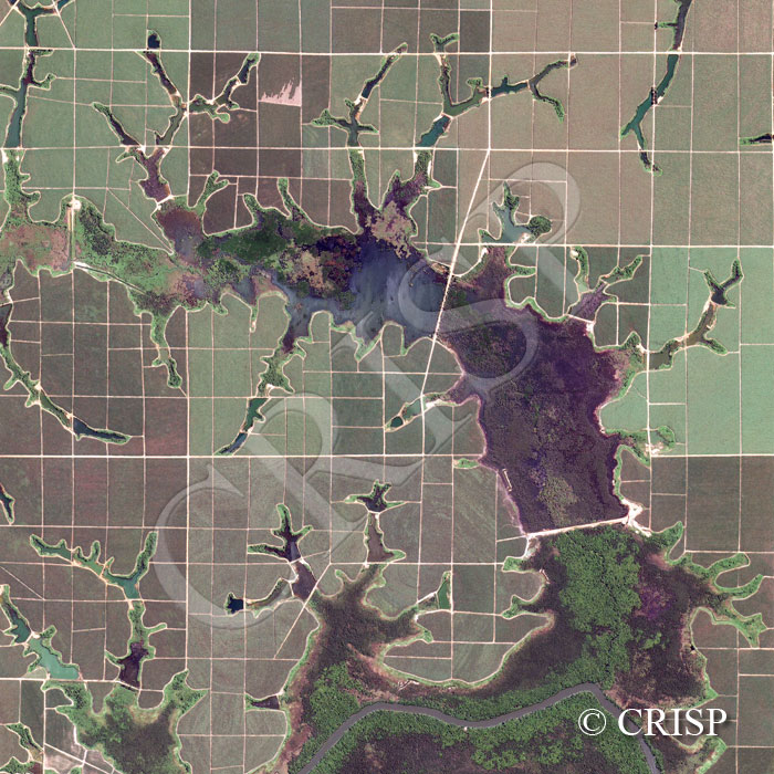
Land Development, Southeast Sumatra, Indonesia
15 May 2006
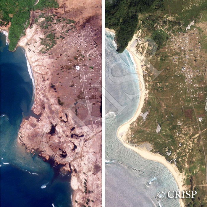
Tsunami Destruction And Recovery, Aceh Coast, Sumatra, Indonesia
Home
Gallery
Calendar
2007