 |
 |
 Airborne Remote Sensing
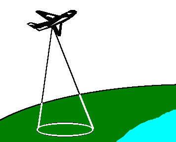
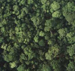
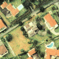
In airborne remote sensing, downward or sideward looking sensors are mounted on an aircraft to obtain images of the earth's surface. An advantage of airborne remote sensing, compared to satellite remote sensing, is the capability of offering very high spatial resolution images (20 cm or less). The disadvantages are low coverage area and high cost per unit area of ground coverage. It is not cost-effective to map a large area using an airborne remote sensing system. Airborne remote sensing missions are often carried out as one-time operations, whereas earth observation satellites offer the possibility of continuous monitoring of the earth. Analog aerial photography, videography, and digital photography are commonly used in airborne remote sensing. Synthetic Aperture Radar imaging is also carried out on airborne platforms. Analog photography is capable of providing high spatial resolution. The interpretation of analog aerial photographs is usually done visually by experienced analysts. The photographs may be digitized using a scanning device for computer-assisted analysis. Digital photography permits real-time transmission of the remotely sensed data to a ground station for immediate analysis. The digital images can be analysed and interpreted with the aid of a computer.

 Spaceborne Remote Sensing Spaceborne Remote Sensing
 Go to Main Index Go to Main Index
|