Mount Everest and The High Himalaya
30 December 2013
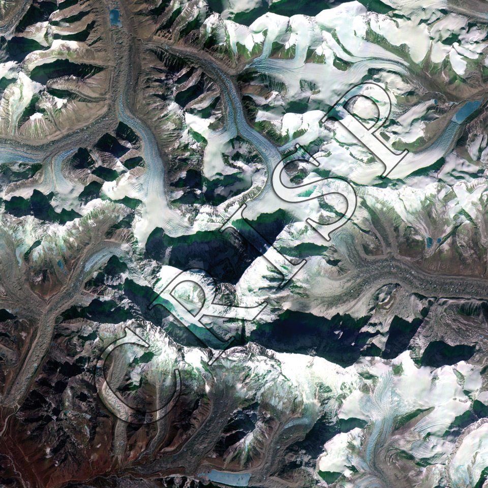
Note: The area of coverage in this XSAT image is 25.00 km x 25.00 km.
The reduced resolution image on display has undergone compression and so does not represent the true resolution of the original satellite image.
The image is centred on Mount Everest, located to the north of the triangular shadow in the middle of the image. Everest, at 8848 m the world’s highest peak is also known as Sagarmata in Nepal and as Chomolungma in Tibet. To the south, beyond the shadow, is the very high peak of Lhotse (8516 m). This is an area of high, steep, snow-bound peaks, bare rocks, deep valleys, and long glaciers. The surface of the glaciers is marked by ice falls, crevasses, and large boulders fallen from the side slopes. Lateral and medial moraines are common, and scattered lakes and ice blocks of various size are found on the surfaces of the glaciers. Even at this high altitude, the lower parts of the large glaciers have become ice-free, especially to the south.