The Brahmaputra River, India-Bangladesh Border
28 May 2008
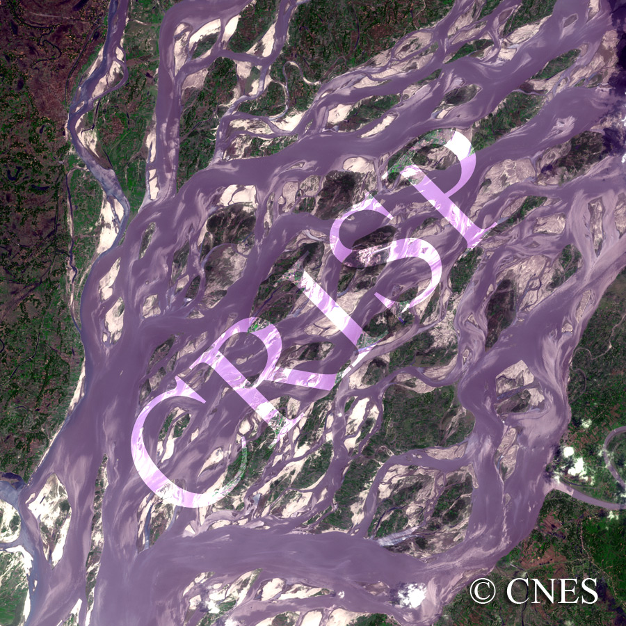
Note: The area of coverage in this SPOT-5 image is approximately 20 km x 20 km.
The reduced resolution image on display has undergone compression and so does not represent the true resolution of the original satellite image.
This is the dry season image of one of the large rivers of the world, the Brahmaputra, known as the Jamuna in Bangladesh. The 15 km wide river displays a remarkable braided pattern with multiple channels and islands. The islands are steep-sided, and rise to several metres above the river. Some are sandy, some are farmed, and several of the higher ones carry trees. The lower islands will be inundated during the wet monsoon; all of them will be under water in periodic large floods. The force of the huge discharge of the Jamuna has streamlined the sides of the islands, as seen along one of the large channels towards the south of the image. The velocity in the main channels has also created a backwater effect at tributary confluences and inside small braided channels, leading to conspicuous sedimentation in both cases.