Mysterious Course Change Of The Mekong, Lao PDR And Thailand
1 April 2007
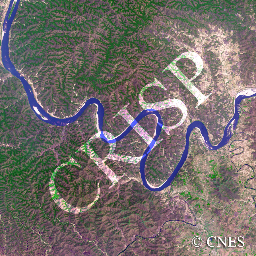
Note: The area of coverage in this SPOT-5 image is approximately 23.75 km x 23.75 km.
The reduced resolution image on display has undergone compression and so does not represent the true resolution of the original satellite image.
The Mekong River flows across the northeastern edge of the Korat Upland. Towards the western margin of the image, the river flows south in a straight channel. However, instead of continuing on this course which would have taken it into Thailand, the river turns sharply east in a set of meanders cut in hard rocks. Beyond the meanders the pattern changes again, displaying short straight reaches and right-angled bends. Such rock-cut meanders and sharp course changes have not been adequately explained so far, and the origin of the Mekong still remains a mystery. Sedimentation in the Mekong is seen to be controlled more by bed relief than channel geometry, another uncommon characteristic for a river.