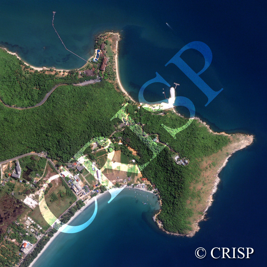
Headland Between Ban Phe And Rayong, Southeastern Thailand
21 November 2007
Note: The reduced resolution image on display has undergone compression and so does not represent the true resolution of the original satellite image.
This ox-shaped forested headland in limestone extends south into the Gulf of Thailand, between the two long lines of beaches that extend towards the coastal harbours of Rayong to the west and Ban Phe to the east, both beyond the image. The low forest has a closed canopy; the only bare part of the headland is the exposed slope towards the right of the image. Cliffs, grottos, and small inlets mark the base of the headland, and bays are developing in sheltered places. Beaches are backed by a line of coastal vegetation, the coastal landscape behind it being transformed by agricultural fields, fish farms and resort-style housing. A flotilla of small boats shelter in the large bay towards the lower part of the image. Piers, however, are used on the other side of the headland. Two large complexes are seen in this image, one on top of the headland and served by a winding road; the other on the coast in the shelter of a small hill, approachable both by road and from the sea using a long pier.