 |
 |
 SPOT 5, France
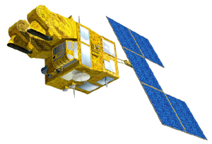 SPOT 5 was successfully launched on 3 May 2002!
SPOT 5 is a new satellite of the SPOT family of satellites. It is planned to be launched in the first quarter of 2002. A new High Resolution Geometry or HRG imaging instrument is developed by CNES to be carried on-board SPOT 5. The HRG instrument promises a higher ground resolution than that of the HRV/HRVIR on SPOT 1 - 4 satellites: 5 m, and 2.5 m by interpolation in panchromatic mode, and 10 m in all 3 spectral bands in the visible to near infrared ranges. The spectral band in the short wave infrared band is maintained at a resolution of 20 m due to limitations imposed by the geometry of the CCD sensors used in this band. The field width of HRG is 60 km, same as SPOT 1, 2, 3, & 4. With two HRG instruments, a maximum swath of 120 km at 5 m resolution can be achieved. The oblique viewing capacity is maintained
providing rapid access to a given area. A dedicated instrument, High Resolution Stereo (HRS), for along track stereo acquisition will also be carried on board SPOT 5. A VEGETATION large coverage instrument will also be available.
SPOT 5 OrbitSPOT 5 will have the same orbit as SPOT 1 - 4.
Sensor Characteristics
Link to: SPOT System (http://www.spotimage.fr/home/system/welcome.htm) at SPOT Image, France. SPOT 5 (http://www.spotimage.fr/spot5/spot5_eng.html)  Go to Main Index Go to Main Index
|