|
Digital Elevation Models (DEM) of a region can be generated from stereo pairs of satellite images. CRISP has devoted much research effort to the techniques for deriving DEMs by stereo processing remote sensing images.
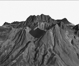
Optical remote sensing images such as those acquired by the SPOT satellites are conventionally used in generating DEMs using the photogrammetric technique. In the Southeast Asian region, it is difficult to acquire suitable SPOT stereo-pairs due to the persistent cloud cover. DEM generation with radargrammetry using high resolution spaceborne synthetic aperture radar (SAR) images, such as those acquired by the RADARSAT satellite is an attractive alternative. An algorithm for generating DEMs from RADARSAT SAR stereo pairs have been developed at CRISP. DEM from SPOT images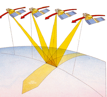 SPOT satellites’ imaging instruments are fitted with a steerable mirror which enables the instrument to image areas up to 27° east or west of the vertical (oblique viewing). 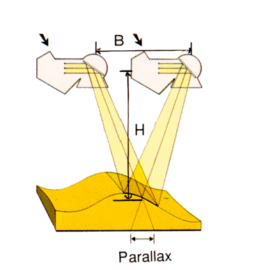 The SPOT satellites’ oblique viewing capability makes it possible to produce stereopairs by combining two images of the same area acquired on different dates and at different viewing angles. Digital elevation models (DEM) can be directly derived from the stereopairs automatically with an appropriate stereo-correlation software. An Example: DEM of Mt. Pinatubo, Philippines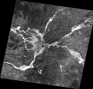 SPOT panchromatic image of Mt Pinatubo acquired on 6 January 1998. This is one image of the stereo pair used in the generation of the DEM. The other image was acquired on 4 Feb 1998. 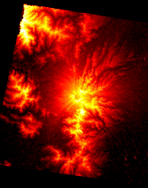 DEM generated from the SPOT stereo pair. Perspective views of Mt. Pinatubo generated by wrapping the SPOT image over the DEM.
|
||||
DEM from RADARSAT SAR Images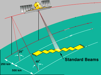 The SAR instrument on the RADARSAT satellite has seven steerable beam modes, each with a different incidence angle. Stereo pairs can be obtained by acquiring images of the same area on different dates and at different modes. An algorithm for generating DEMs has been developed at CRISP using a hierarchical multi-resolution radargrammetric technique. 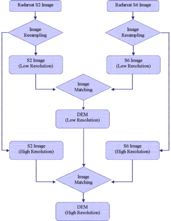
Flowchart of the multi-resolution radargrammetric processing of RADARSAT stereopairs An Example: DEM of BruneiRADARSAT stereo pair of Brunei: 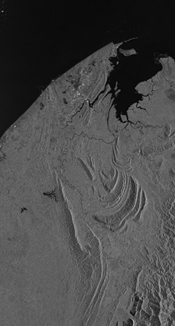 RADARSAT subscenes of Brunei: (left) S2 mode, acquired on 28 Feb 1998; (right) S6 mode acquired on 8 Jan 1998. 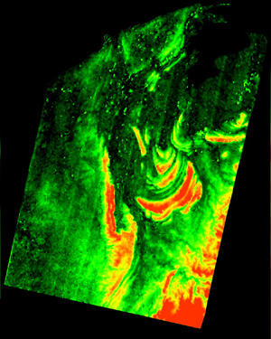 DEM of Brunei generated from the RADARSAT SAR stereo-pair. |

